

My Role
Lead Product Designer
Project Duration
Ongoing
Platform
IOS
Team Members
2 Software Engineers
Overview
CarbonCruise is a forestry data collection app that replaces manual tools such as tape measures, clinometers, and paper notes with a single mobile experience.
When I joined, the product was already in development, but key decisions were being made without a clear understanding of real forestry workflows. My role was to identify where time was actually being lost in the field and align the product roadmap around solving those problems first.
My Role
Product strategy and feature prioritization
UX research and field testing
Translating forestry workflows into product requirements
Collaborating with engineering on technical trade-offs
Designing AR-first and offline-first experiences
The Challenge
Forestry data collection is physically demanding and highly repetitive. A single field session can involve measuring hundreds of trees in dense forests with poor lighting, uneven terrain, and little or no connectivity.
Digital tools only provide value if they reduce effort compared to existing methods. If a workflow is slower than a tape measure or fails in real-world conditions, adoption quickly breaks down.
How do we create a digital tool that outperforms traditional forestry tools in real forest conditions, not just controlled environments?
Research
To understand real forestry workflows and identify where the greatest inefficiencies existed, I conducted:

Workshops
4 field workshops with professional foresters

Iterative testing
Tested the app
in active forest environments.

Comparative
Analysis
Comparative testing against traditional forestry tools

Workshop sessions with foresters surfaced key workflow gaps that directly informed measurement and prioritization decisions.
Tested early versions of the app in active forest environments alongside software engineers, validating measurement workflows and identifying opportunities to improve speed, reliability, and usability.
Key Insights
Diameter Measurement was the biggest bottleneck
Diameter measurement is performed repeatedly during plot collection and has a disproportionate impact on overall efficiency. The app's existing LiDAR workflow introduced processing delays, required users to move around trees (a difficult task when trees are growing close together), and often performed poorly in dense forest conditions.
“If it’s slower than a tape measure, it’s not an improvement.”
Vicky, Professional Forester
AI Species Identification wasn't solving a critical problem
Species identification had been planned as a major investment area.
However, field research revealed that foresters typically rely on existing expertise and were more concerned with recording information quickly than receiving automated recommendations.
“Speed matters more than automation. I’d rather log what I know than double-check an AI guess.”
Derek, Professional Forester
Reliability was more important than advanced features
Forestry work often occurs in low-light environments and areas with limited connectivity. Offline authentication blocks, limited feedback, and unclear recovery paths disrupted data collection and reduced confidence in the tool.
"You don’t get a second chance to measure once you move on, so it's important to get it right the first time."
Todd, Terrestrial Ecologist
Solution: Refocusing the Product Roadmap
Research revealed that the team's biggest opportunity wasn't adding more functionality, it was improving the speed and reliability of existing workflows.
Based on these findings, we:
Prioritized diameter measurement as the primary workflow
Reduced investment in AI species identification
Shifted focus toward offline reliability and field performance
Established success metrics based on efficiency and trust
This research fundamentally changed where engineering effort was allocated.
Refocusing on Diameter Measurement
We replaced the existing LiDAR point-cloud workflow with an AR-based automatic edge detection approach.
This allowed users to:
Measure from a single position
Receive faster measurements
Avoid circling trees, improving performance in dense stands
Expanding access beyond LiDAR devices
The original workflow required LiDAR-enabled iPhones.
To broaden adoption, I designed a secondary diameter measurement experience inspired by familiar measurement interactions.
This enabled reliable data collection on non-Pro devices while maintaining consistency across workflows.
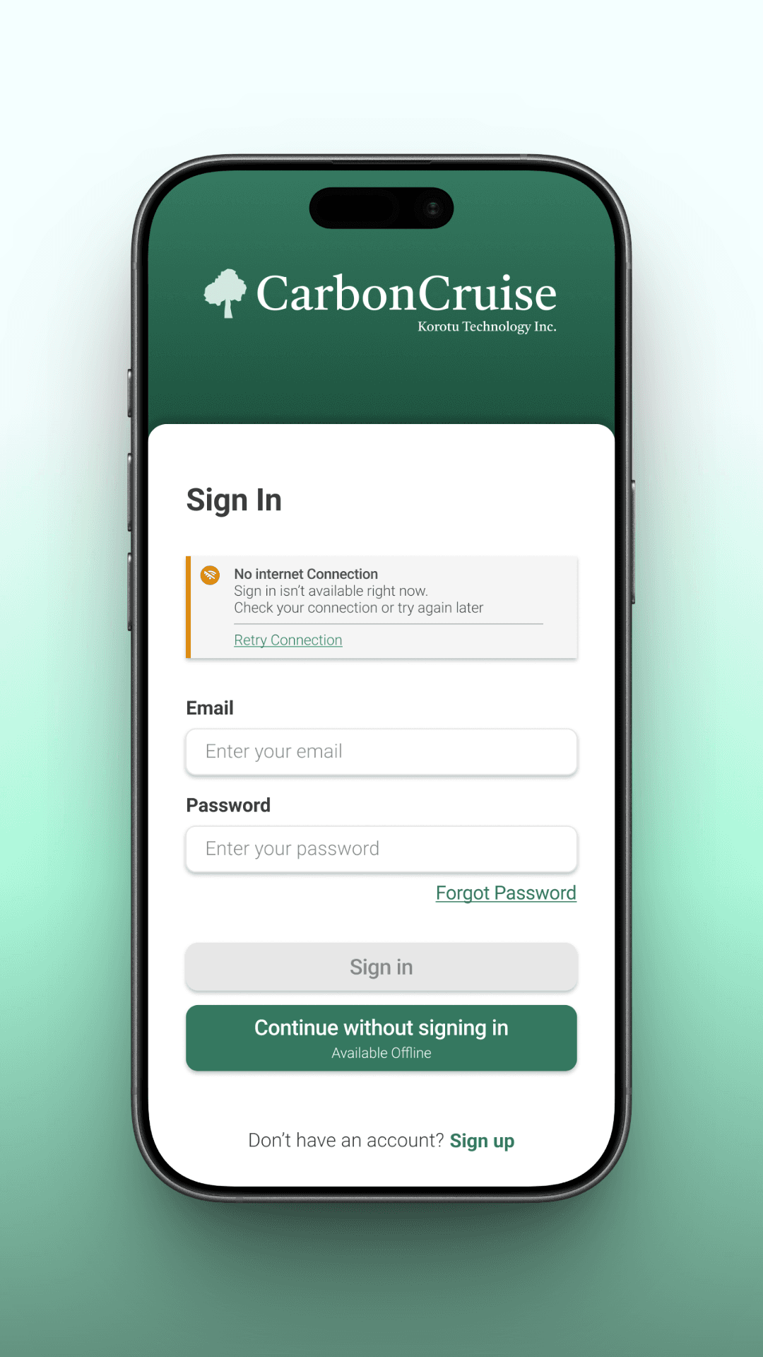
Designing for offline fieldwork
Offline functionality became a core requirement rather than an edge case.
I designed flows that allow users to:
Capture and edit data fully offline
Continue working without authentication interruptions
Sync data automatically once connectivity is restored
Improving trust through feedback
To build trust in the tool, I introduced clearer feedback around AR accuracy and environmental limitations, including contextual messaging when conditions affected measurements and clear recovery paths after interruptions.

Outcome
Research fundamentally changed how product priorities were approached, shifting focus from feature expansion to improving the workflows that have the greatest impact on field efficiency.
Refocused the product around its highest-value workflow
Redirected engineering effort toward user-validated priorities
Improved measurement efficiency and reduced workflow friction
Expanded support beyond LiDAR-enabled devices
Established a scalable foundation for future automation and AI features

52%
Faster
Measurement
Workflow

3x
More
Compatible
Devices

15+
Field
Testing
Sessions
Next Steps
With core measurement workflows established, the next phase focuses on refinement and scaling the product:
Improve edge-detection accuracy across different lighting conditions and tree shapes
Continue field testing across additional regions and forest types
Selective automation and AI features where they clearly reduce effort
Extend support to additional forestry workflows such as canopy measurement

